
Cowles Mountain is a well–known hiking place inside Mission Trails Regional Park in northern San Diego. The Cowles Mountain hiking trail gives a short but steady climb, open views, a dry landscape, and a clear summit reward. The route is about three miles for a round trip, so many hikers can finish it in a few hours without making a full day trip.
Cowles Mountain Hiking Trail Route and Difficulty
The trail begins near Navajo Road and Golfcrest Drive. Parking close to the starting point can be difficult because the small lot fills fast. Street parking is available around the area, but using it can add some walking before and after the main route. Bathrooms are located near the base, which is useful before starting the climb.
From the first part, the path begins going upward. The full climb gains around 900 feet over about 1.5 miles to the summit. Because of this, the trail feels steady rather than flat with one hard section. The dirt path is worn from heavy use and generally easy to follow, even when several smaller tracks appear beside the main route.
A Steady Climb Without Shade
Most of the route has no shade, and this changes how the hike feels during warm weather. Early morning can be more comfortable, while hotter hours make the climb more tiring. Water is important because there are no shaded places where hikers can cool down for long.
Around the middle part, switchbacks become more visible. They help the trail gain height without going straight up. Some sections divide into two, three or even more used tracks. They usually join again higher on the mountain, so the general direction remains simple.
What Hikers See Along Cowles Mountain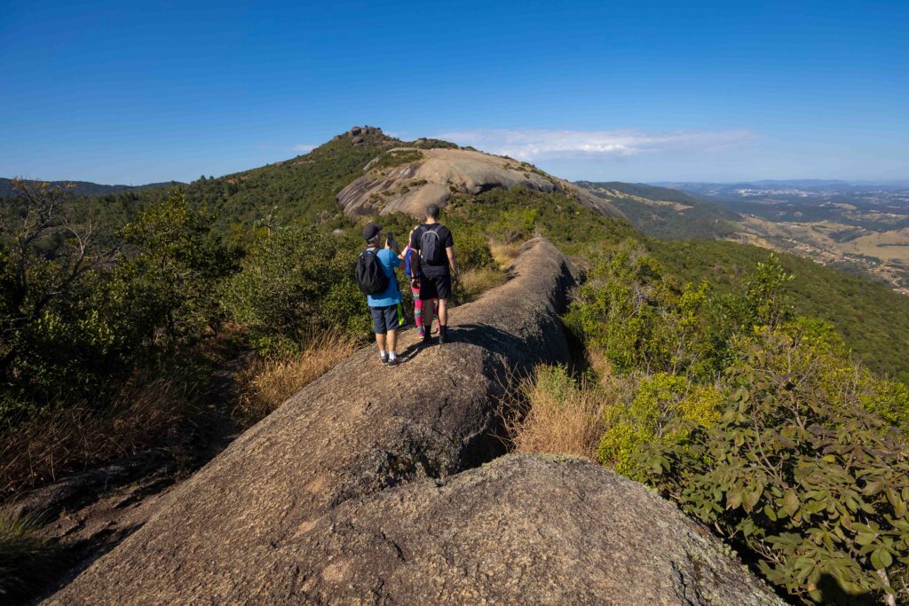
Cowles Mountain is not especially high compared with many California peaks, but its location gives wide views. The summit stands at around 1,600 feet and is the highest mountain inside San Diego city limits. During the climb, the city slowly opens below, and the landscape becomes wider with every higher section.
The mountain is named after early rancher George A. Cowles, which also gives the trail its familiar name today.
The route can also offer plants and occasional wildlife, though the open dry setting is the main character of the hike. Many people use this trail, so quiet conditions are not always expected. It is common to meet walkers going both up and down, especially during comfortable weather and popular hours.
Main trail facts are simple:
- About three miles for the complete round trip
- Around 900 feet of elevation gain
- About 1.5 miles from the base to the summit
- Open trail with very little shade
- Dirt surface with switchbacks higher up
- Summit views in several directions
Views From the Summit
At the top, the trail reaches a broad viewpoint with a summit plaque. Many hikers stop here for photos or spend some time looking around before starting the descent. Antennas and a small building are also visible on another part of the mountain.
On clear days, the view can include downtown San Diego, Cabrillo National Monument, and areas far to the south. Tijuana may also be visible when weather and air conditions are favorable. This long view is a big reason why a relatively short urban hike feels more impressive at the top.
Planning Time for the Cowles Mountain Hike
 The climb can take around 45 minutes for hikers moving at a steady pace, though timing changes with fitness, heat, and breaks. A complete outing may take around one and a half hours when some time is spent at the summit. Slower walkers can easily allow more time without any problem.
Going down follows the same general route. The descent is faster, but loose dirt and worn sections can need careful steps. Good shoes make walking more comfortable, especially where many feet have made the surface smooth or dusty.
Cowles Mountain works as a compact city hike because it combines a direct climb with broad views and a simple route. The main challenge comes from steady elevation and sun exposure rather than long distance. For people who prepare with water, suitable shoes and enough time, the trail gives a clear picture of San Diego from above while staying close to the city.